MANTIS
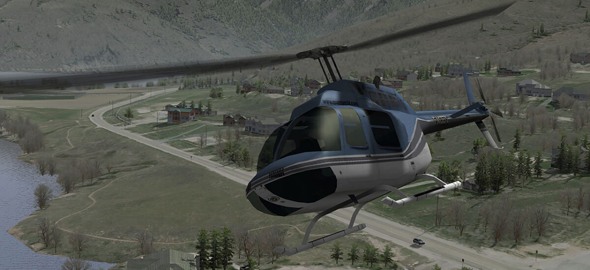
MANTIS® is Quantum3D’s Real-time Scene Management software. It employs a powerful client / server software architecture that facilitates multiple synchronized channels driven from a single host system. MANTIS is equipped with a suite of features that support communication functions, peripheral devices, displays, and multi-channel synchronization. The MANTIS architecture supports the full range of high-end IG features, including the new CDB native support, special effects, sensors, weather, and lighting, along with mission functions such as height-above-terrain and line-of-sight intersection testing. MANTIS’ features can be easily extended with plug-ins that offer additional capabilities. MANTIS is supported on Quantum3D’s high-end IDX Visual Simulation Hardware and on off-the-shelf PCs.
MANTIS is designed, developed and maintained by our Silicon Valley, USA engineering team. Contact Quantum3D Government Systems for additional information on supported PC platforms.
Features
Special Effects
Includes vapor trails, sparks, dust, smoke, explosions, noise, dead pixels, etc.
Flexible Host Interface
Supports CIGI 2.0, 3.0 and 3.2. CIGI 4.0 support coming soon.
Environmental Support
Weather effects, such as precipitation, fog, haze, dust, and the sun’s positioning, are easily configurable on MANTIS®
Terrain Database Support
Support for complete world wide database with seamless flight across entire earth
Moving Model Support
Supports full 6-DOF position and rate control; articulations, toggles, and animation scripts
Mission Function Support
MANTIS® allows clamping and conforming of models to the terrain, line-of-sight intersection testing,
Common Database (CDB) Format
Native support for direct loading of terrain databases in Common Database (CDB) format. See CDB Plug-in section of Mantis Plugins User Manual for details.Native support for direct loading of terrain databases in Common Database (CDB) format. Use of CDB provides many advantages, including: interoperability between various components of a complete simulator, and across multiple simulators; reduced, development, update and configuration management times; enhanced reusability; and reduced obsolescence.
The Mantis Advantages
The key tool in the training and simulation market, MANTIS® is a module based image generation software platform producing high-fidelity 3D graphics at 60 frames-per-second (FPS), for use in a variety of simulation and training applications. MANTIS focuses on providing exceptionally realistic imagery delivered at fixed frame rates to maximize suspension of disbelief. Unique effects and specific features can be created by developers to meet the demands of almost any simulation and training need.
MANTIS’® architecture supports a full range of special effects, sensors, weather, and lighting, along with mission functions such as height-above-terrain and line-of-sight intersection testing. Quantum3D’s plug-ins extend MANTIS® to support additional visual effects, such as ocean effects, rotorwash and more.
MANTIS® is compatible with Windows or Linux for easy configuration and management, leveraging the industry standard CIGI protocol to interface with the host system.
MANTIS® offers advanced visual simulation solutions for multiple applications, including Fixed and Rotary-Wing Flight Simulation, Ground Vehicle Simulation, Tank Simulation, Maritime Simulation, Mission Rehearsal, Sensor Simulation and more.
Advanced Ocean Plug-In
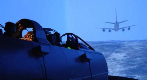
Uses shaders to generate a high quality ocean, which includes sun / moon reflection, true 3D waves, shoreline effect, terrain and model reflections. Supports bow and stern wakes for moving vessels.
Supports spray effects for moving vessels. Renders inland water such as lakes and rivers using a shader to simulate ripples and reflections, including reflection of sun or moon. Works for both visual band and sensor simulations.
Advanced Weather Plug-In
Renders a three dimensional volumetric cloud layer. Provides accurate method for specifying arbitrary shaped regions of dense cloud, broken cloud and clear sky. Renders up to five volumetric storm clouds with associated rain squall and randomized lightning. Volumetric cloud LOS intersection queries facilitate accurate simulation of judder on penetration of clouds. Provides layered fog effect. Fog density is interpolated based on altitude. Accurate cloud shadows can be cast on terrain, ocean and moving models. Accurate and realistic in cloud effects. Clouds are illuminated by sun, moon, lightning, spotlights, city light glow. City light glow illuminates both cloud and terrain. Night time texturing of lights in urban areas.
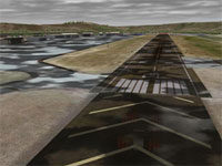
RunwayFX Plug-in
Facilitates simulation of effects such as wet, patchy wet, ice, patchy ice, snow, patchy snow, sand / dust, patchy sand / dust, blowing snow / sand / dust. Supports reflection of runway lights on wet regions of runway. Runway condition returned in HAT/HOT/LOS queries facilitates accurate simulation when hitting snow or water All parameters can be gradually changed at run-time to simulate changing conditions.
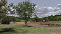
Real-Time Foliage Plug-in
Allows three dimensional high quality foliage to be added to terrain. Allows grass regions to be added to terrain. Uses SpeedTree™ trees. Simulates global wind – all trees are blown. Simulates localised wind such as helicopter rotorwash.
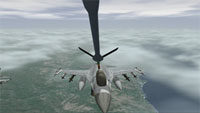
Shadow Plug-In
Supports various algorithms for generating real-time shadows, including full-scene self-shadowing.
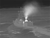
ViXsen® Plug-In
Physics-based simulation of sensors. Supports NVG and short / medium / long range infrared sensors. Supports material coded databases. Supports changing diurnal cycle.
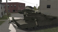
Di-Guy™ Plug-In
Uses the Boston Dynamics Di-Guy tools to implement animated humans and animals.

Rotorwash Plug-In
Implements a flexible particle effect to simulate rotorwash effects. Appearance of effect can be made to change automatically dependent upon type of terrain under helicopter, e.g., sand, water, concrete.
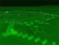
QUEST®2 Plug-In
Provides support for sensor post processing effects. QUEST®2 uses a software method for post processing. Supports gain, level, AGC, blur, random noise, fixed noise, scintillation, hot spot detection, hot spot contrast estimation, pan roll and zoom, etc.

Laser Designator Effect Plug-In
Simulates IR laser target designator viewed in NVG.
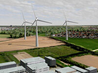
StaticModels Plug-In
Provides a mechanism to efficiently populate the terrain with a set of modelled features. E.g. this allows new tall constructions (such as buildings, wind-turbines, radio towers) to be added to the terrain without having to re-generate the complete terrain, allowing the terrain to be kept up to date with the real world.
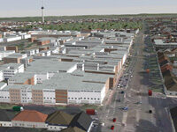
Autonomous Traffic Plug-In
The Autonomous Traffic plug-in may be used to populate the scene with automatically generated road and water vehicles. The road topology is derived from OpenStreetMap. The vehicles use a simple AI to navigate and drive autonomously around the vicinity of the view location adding a sense of life to the scene.
Multi View Plug-In
Provides multiple viewports within single channel (e.g. rear-view mirror, insets).
